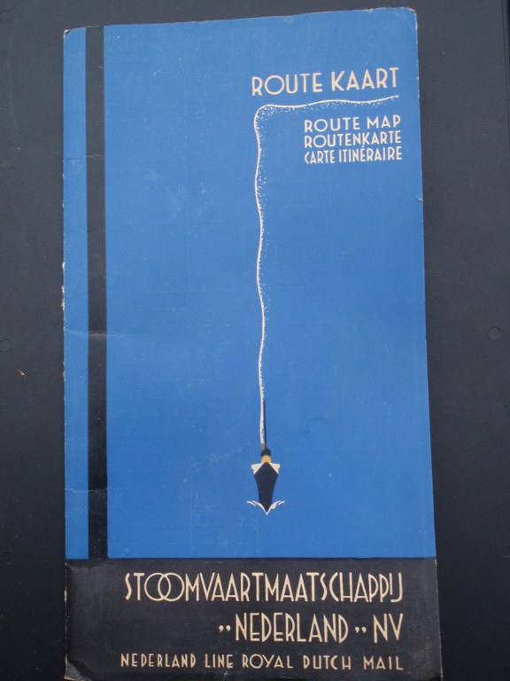
Routekaart Stoomvaartmaatschappij ”Nederland” NV 1930-1950
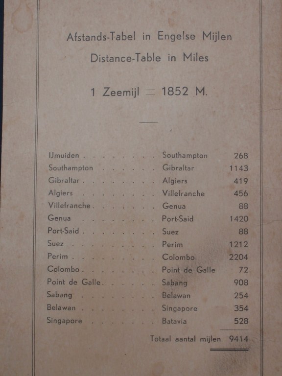
Uitvouwbare kaart met de route van het schip van Indonesië naar Europa. Aan de achterzijde is een overzicht van de havens op de route, alsmede een afstandstabel. Het ontwerp wordt toegeschreven aan Jo Spier (1900-1978). Afmetingen 25 x 14 cm / 75 x 48 cm. Vraagprijs € 95.
Route Map Nederland Line Royal Dutch Mail 1930-1950
Foldable map depicting the route of the ship from the Dutch Indies to Europe. At the back is an overview of the ports along the route with the distances. The design is attributed to Jo Spier (1900-1978). Dimensions 25 x 14 cm / 75 x 48 cm. Asking price € 95.